

Book Tickets Online
About
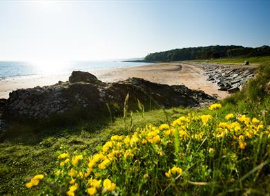
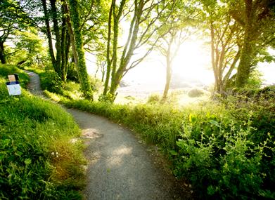
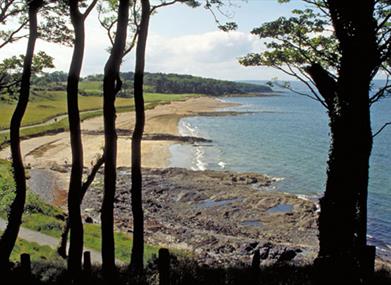
North Down Coastal Path extends from Holywood in the west to Orlock in the east. The path passes through coastline and parkland. Historic relics and flora and fauna are found in abundance, including the grey seals which can be spotted offshore.
Please be aware that sections of the North Down Coastal Path follow private roads. Please respect the Highway Code when walking, cycling or running along these sections where residential traffic will have right of way. Northern Ireland has very few public rights of way and therefore in many areas walkers can only enjoy countryside walks because of the goodwill and tolerance of local landowners. In the interests of your own safety please be respectful when using the area for recreational purposes.
Start Point:
J397793
Finish Point:
J565828
Route:
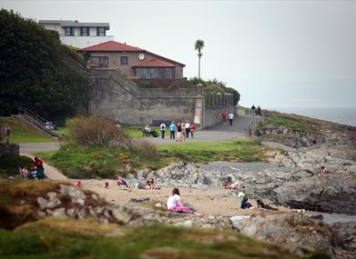
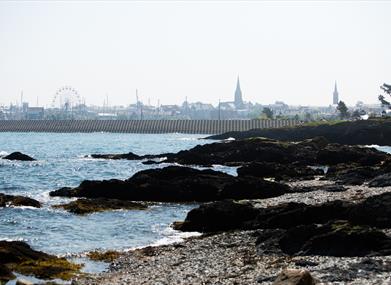
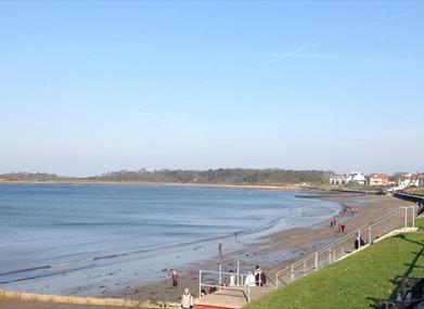
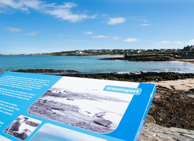
The walk begins at the Esplanade in Holywood. Walk under the railway arch and turn right. Follow the linear path along the outer edge of Belfast Lough towards Seapark, a recreational area with a play park. Continue past the park towards the Royal North Yacht Club. From here follow the public footpath as it rejoins the Coastal Path. At this point a detour to the right will lead to the Ulster Folk and Transport Museum and the railway halt. Continuing on the path leads to Craigavad, with the Royal Belfast Golf Club on the right. Beyond this point cross the bridge in front of Rockport Primary School. About 2 miles further round the coast, a set of steep steps takes you inland at the Seahill Sewage Treatment and rejoins the coast path as you descend at the far end. From here the path leads to Crawfordsburn Country Park, passing Grey Point Fort, Helen's Bay and through to Crawfordsburn Beach. Leaving the path briefly, cross Swineley Bay and pick up the path at the far side. Continue walking along the path to Wilson's Point, where the path turns towards Bangor Marina. From here follow the path round to Ballyholme Beach, which leads to the National Trust area of Ballymacormick Point. The path continues to Groomsport Harbour, where the path becomes rural in nature, crossing the beach area round towards Orlock Point, Portavo. A small lay-by indicates the end of the walk.
Distance:
16 miles
Terrain:
Bitmac, stone and grass paths
Point of interest:
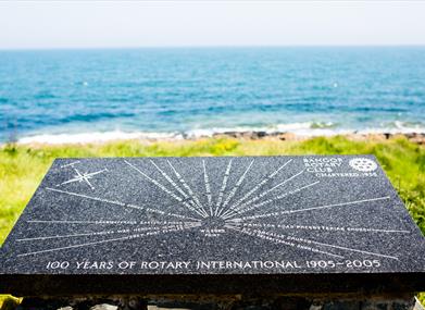
Grey Fort Point (battery and gun emplacement), views
Facilities:
Toilets, accommodation and refreshments are available along the walk including in the villages and towns of Newtownards, Helens Bay, Groomsport and Bangor
Publication:
1. The Coastal Path – Map guide. 2. A Guide to the North Down Coastal Path
Publication availability:
North Down Coastal Path Leaflet downloadable from this page.
Nearest town:
Holywood, Co Down
OS map:
Sheet 15
Accessible toilet facilities:
Yes
Accessible terrain:
The route crosses a variety of surfaces including smooth concrete to beach and a rocky narrow shoreline section.
For more information, contact Ards and North Down Borough Council on 028 9127 0069 (Bangor Visitor Information Centre) or 0300 013 3333 (Main Council Switchboard).
Facilities
Provider Preferences
- Free (parking charges may apply)


